StoryMaps are an interactive web content format, hosted by Esri, which support interactive geospatial components, making them an engaging tool for presenting and demonstrating geospatial data capabilities.
NISAR StoryMaps
There are a number of StoryMap tutorials available for NISAR, published both by ASF and the NISAR Mission Team.
ASF NISAR StoryMaps
NISAR StoryMaps published by ASF are all displayed in the ASF ArcGIS Online Gallery.

They can also be accessed directly:
NISAR in GIS (February 2025)
Spatial Subsetting for NISAR Data (April 2025)
JPL NISAR StoryMaps
JPL has published a series of StoryMaps focused on specific applications. These StoryMaps are highlighted on the NISAR Mission Page.
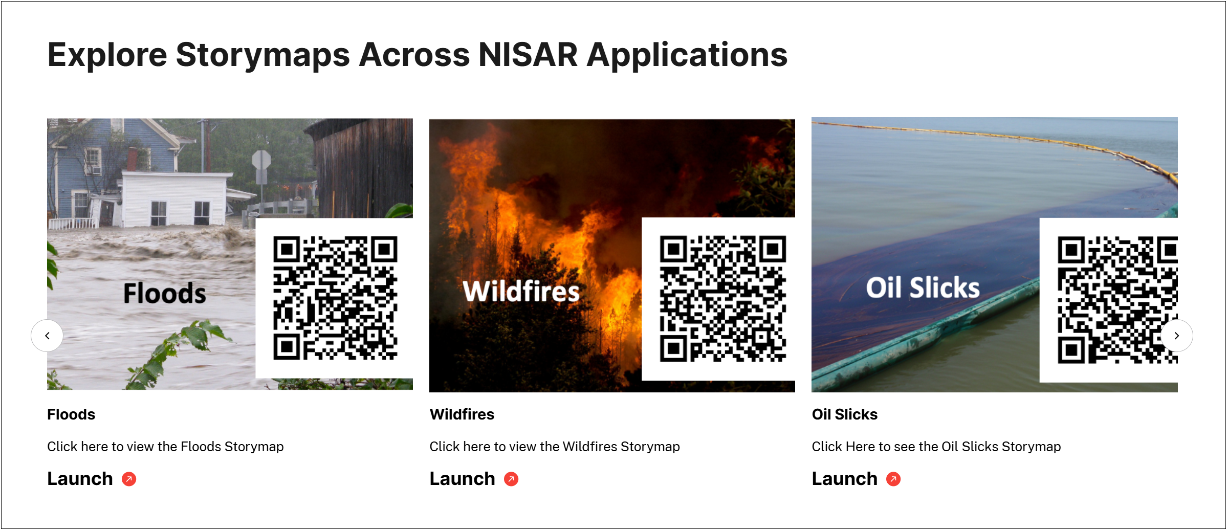
They can also be accessed directly:
Floods (2/16/2023)
Wildfires (7/16/2024)
Land Subsidence (3/20/2023)
Oil Slicks (3/20/2023)
Glacial Motion (6/8/2023)